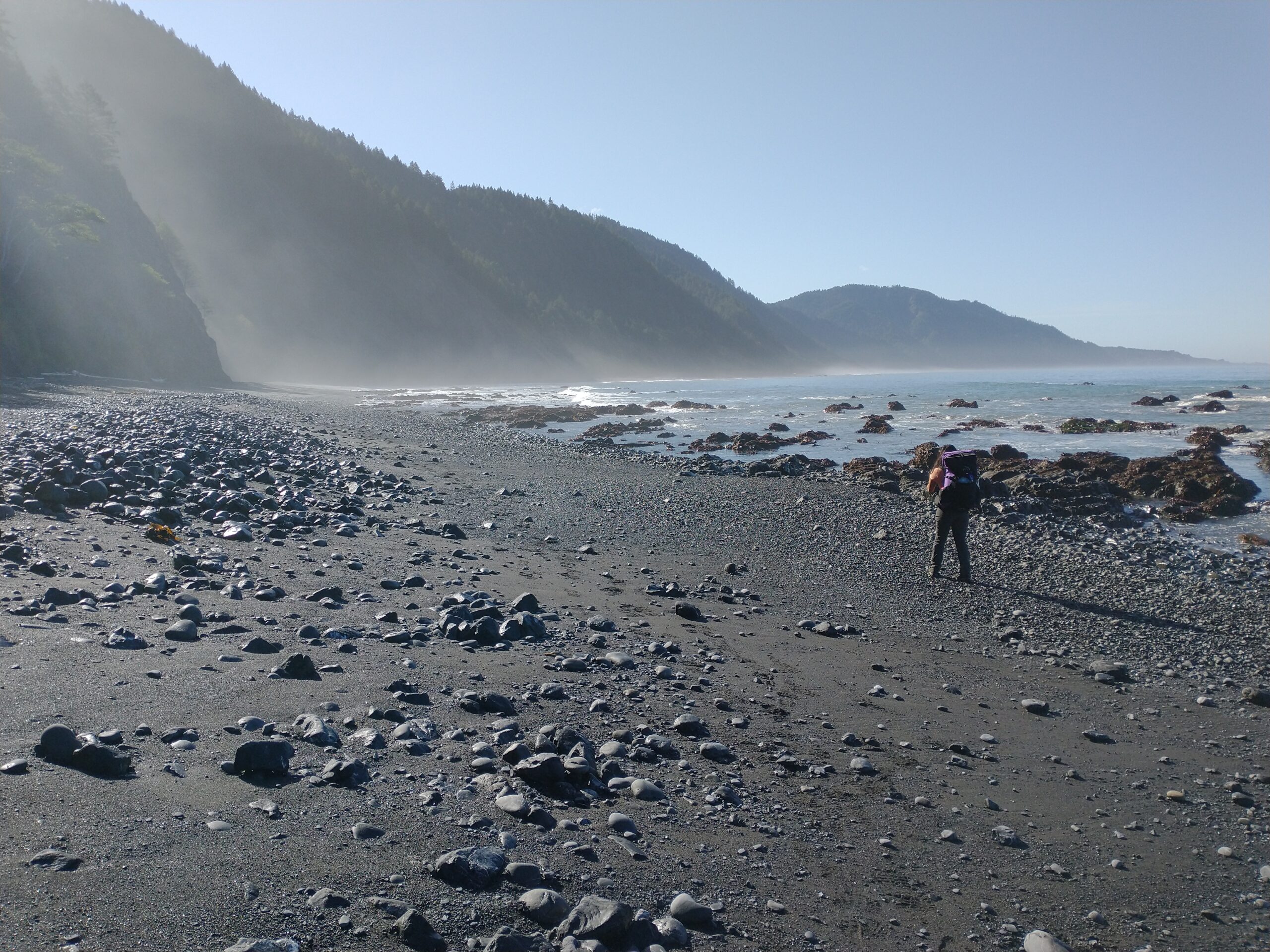
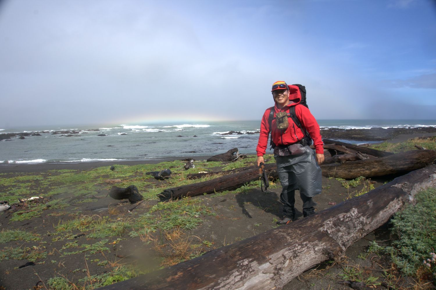
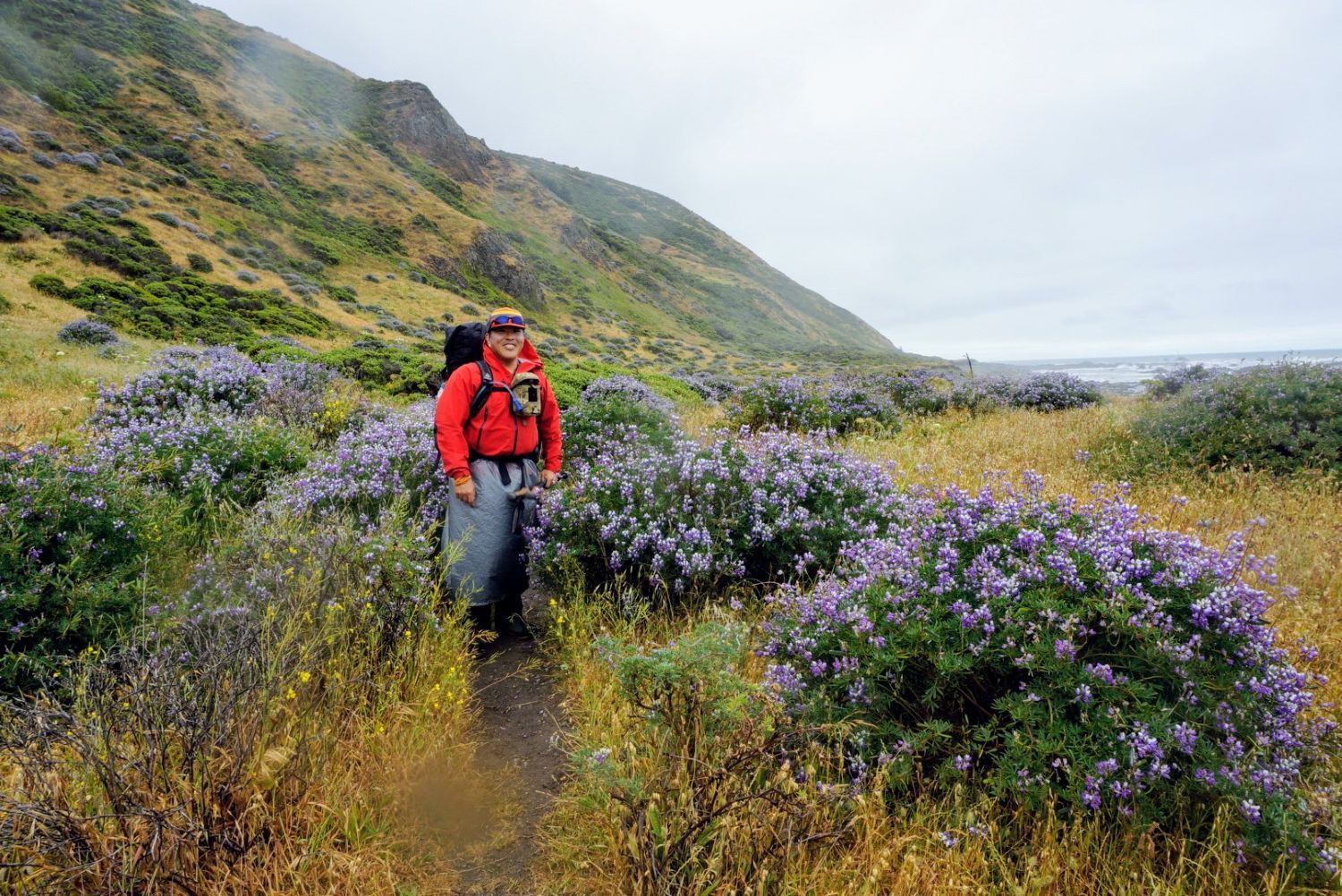
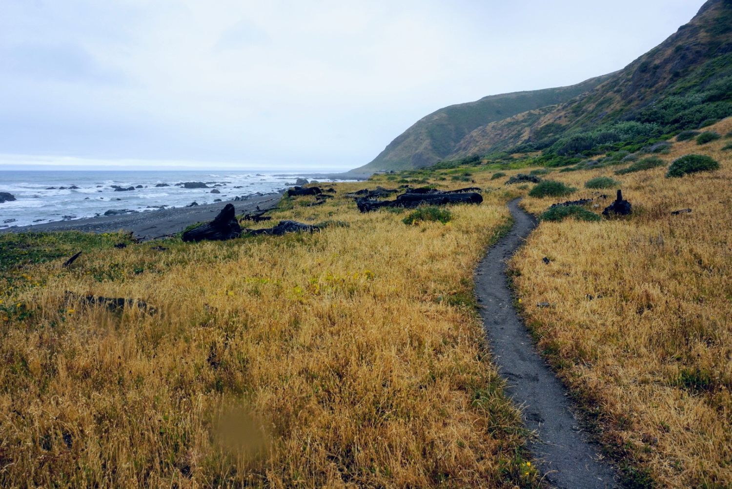
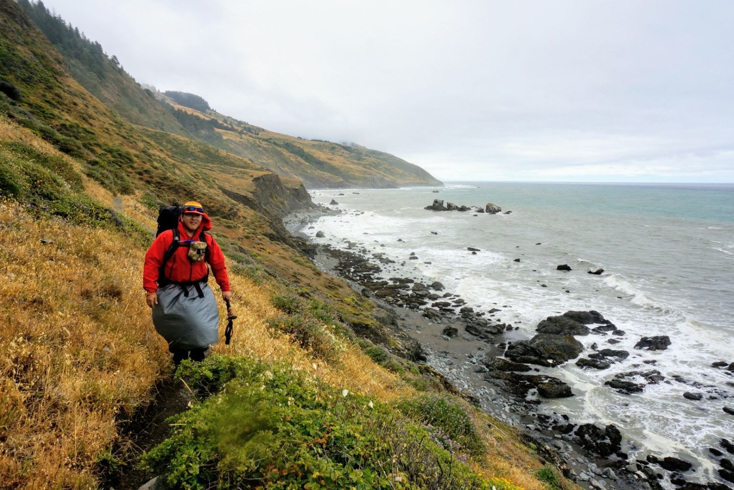
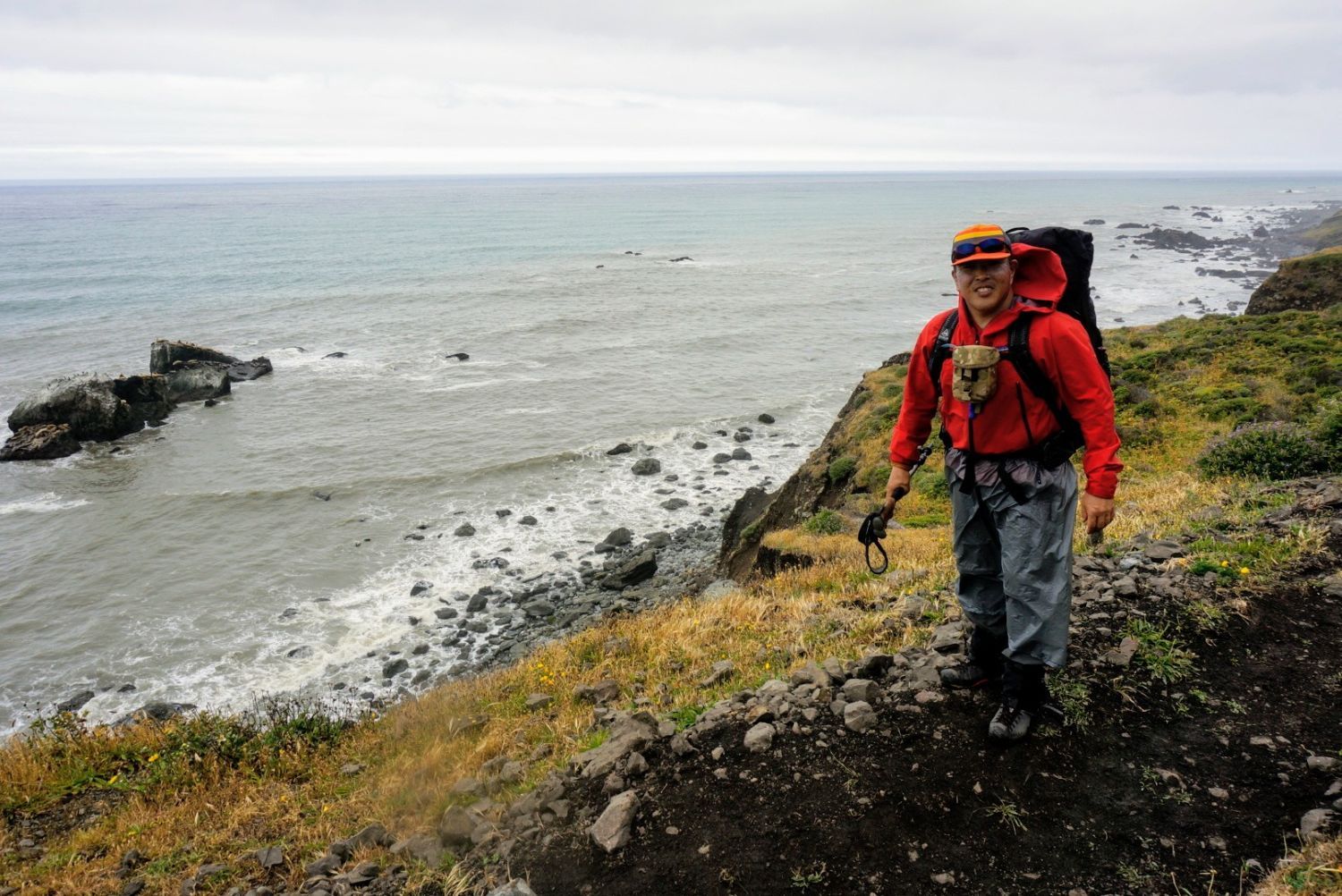
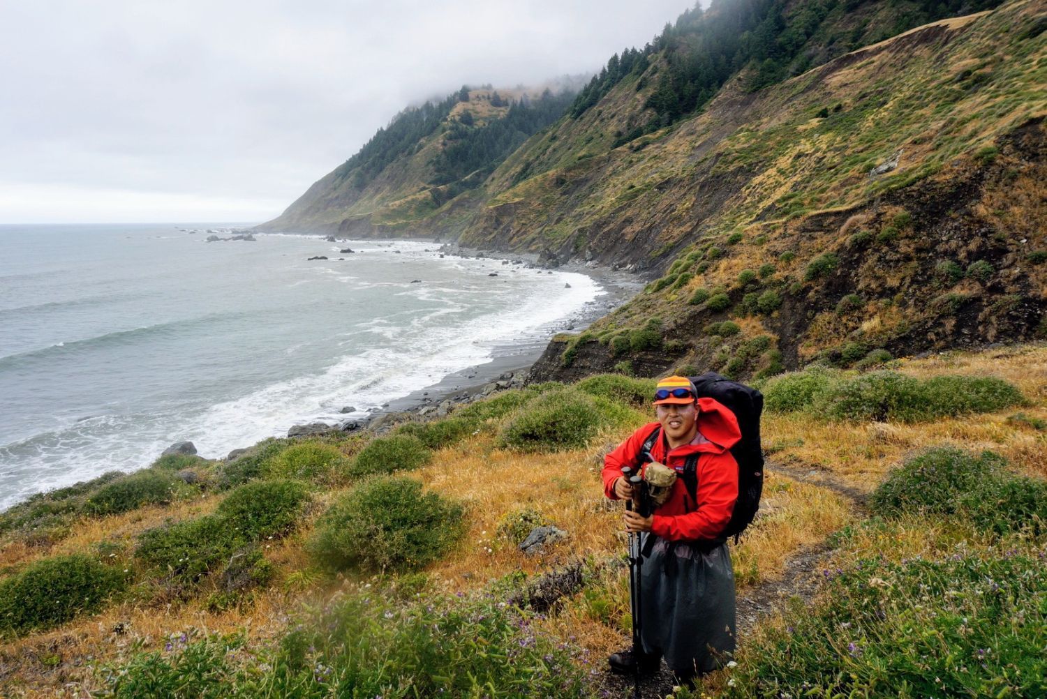
In mid-June 2021, I tackled the Lost Coast Trail (LCT). This area is the steepest coastal region in California, formed by the dynamic tectonic activity of colliding structural plates in North America. In the mid-20th century, an attempt was made to build Highway 1 along the coast, but the project was abandoned due to the sheer cliffs and fragile ground. As a result, the road bypassed inland, luckily leaving this area as a primitive coastline accessible only by foot (hence the name “Lost Coast”). Walking along this beautiful shoreline is a one-of-a-kind experience that feels premium enough to be designated a National Recreation Trail.
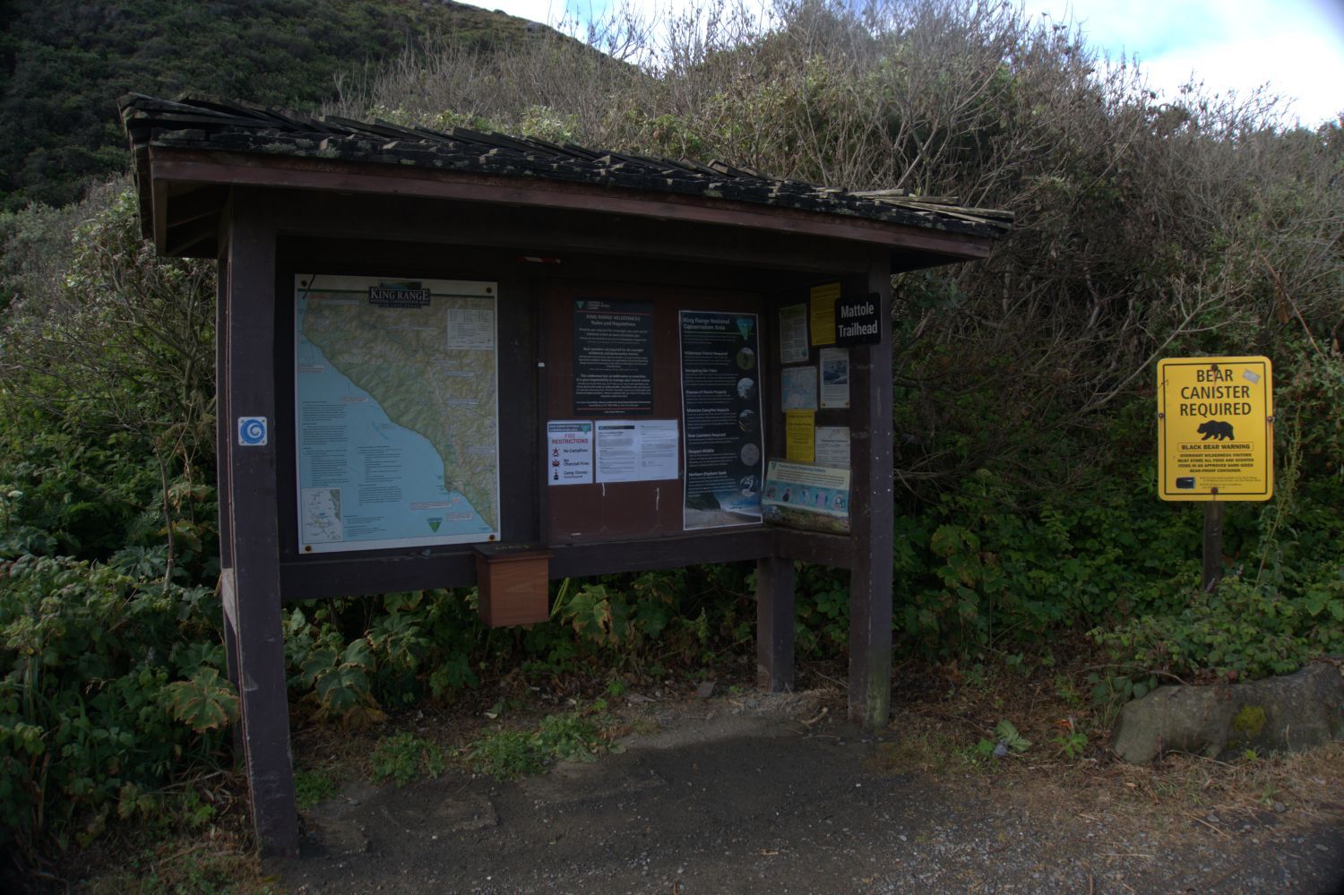
In our itinerary, we only hiked the northern section of the LCT, but going on this one-way route from Mattole Beach in the north to Black Sands Beach in the south presented a major hurdle: vehicle recovery. My friend and I each drove our own cars, met up, and executed a “two-car depot strategy.” We parked one car at our intended destination, the Black Sands Beach trailhead in the south, and then rode together in the other car to the starting point at Mattole Beach in the north. After finishing the trek, we used the car parked at Black Sands Beach to drive back to Mattole Beach and retrieve the remaining vehicle.
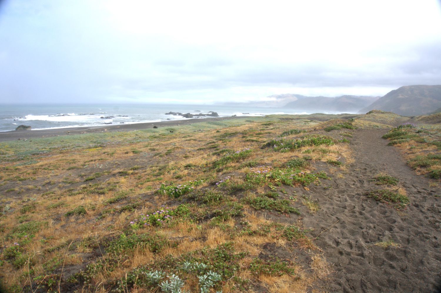
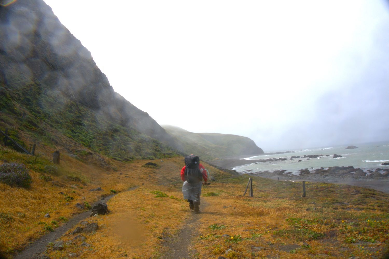
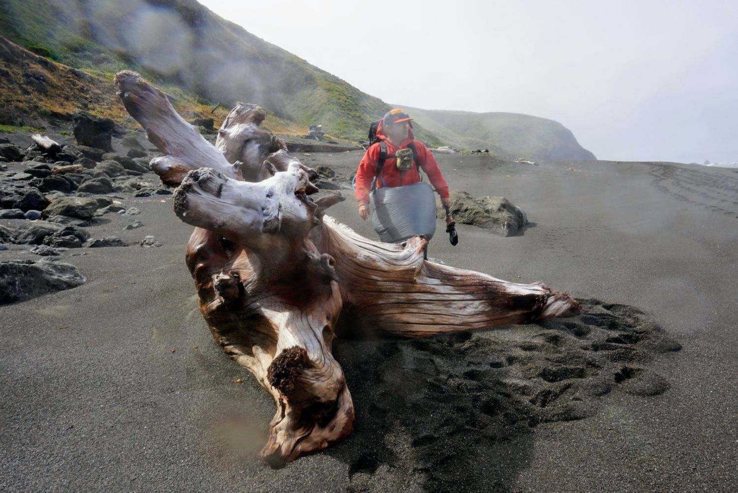
My friend handled obtaining the wilderness permits, which require advance reservations. However, since there is a strict quota on the number of hikers, they seemed quite popular and difficult to get. Because black bears inhabit the forested wilderness behind the coast, carrying a hard-sided bear canister for food is legally mandated. It seemed that black bears roaming the beaches were frequently spotted by hikers as well. While there are no mountain-like ascents and descents, and the cumulative elevation gain is only about 50 feet (approx. 15 meters), there is almost no sudden elevation change like a mountain trail. Nevertheless, the actual terrain consists of coarse black sand, gravel, and boulder fields of bowling-ball-sized rocks eroded by the waves. With every single step, your feet sink deep into the loose sand, and you have to maintain your balance on cobbles made slick by seaweed, resulting in a physical exhaustion entirely different from standard mountain backpacking.
Playing the Tide Game
The defining characteristic and greatest challenge of the LCT is the existence of “Impassable Zones” that become completely submerged in seawater at high tide. Entering these sections during high tide puts you at risk of being swept away by waves, so you must analyze the tide tables beforehand and aim for a narrow window—specifically, two hours before and two hours after low tide. However, nature does not always go according to plan. Passing through these zones brought an element of pure thrill (or rather, a fight for our lives).
Trekking Log: The Full 4-Day, 3-Night Record
Day 1: Mattole Beach to Cooksie Creek (7.1 miles)
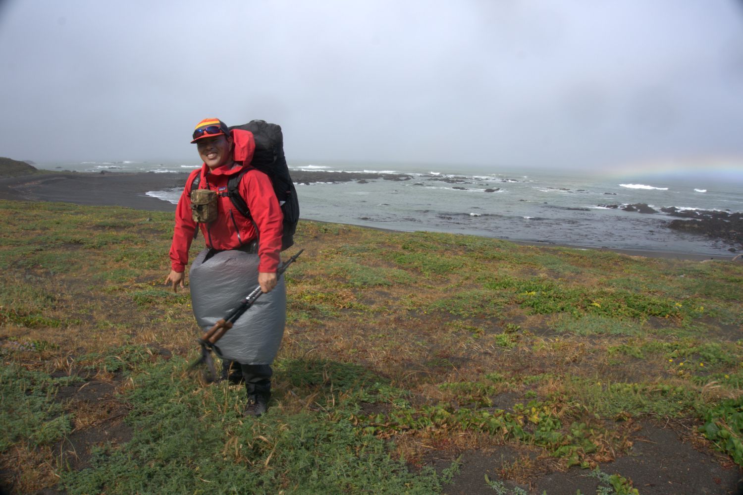
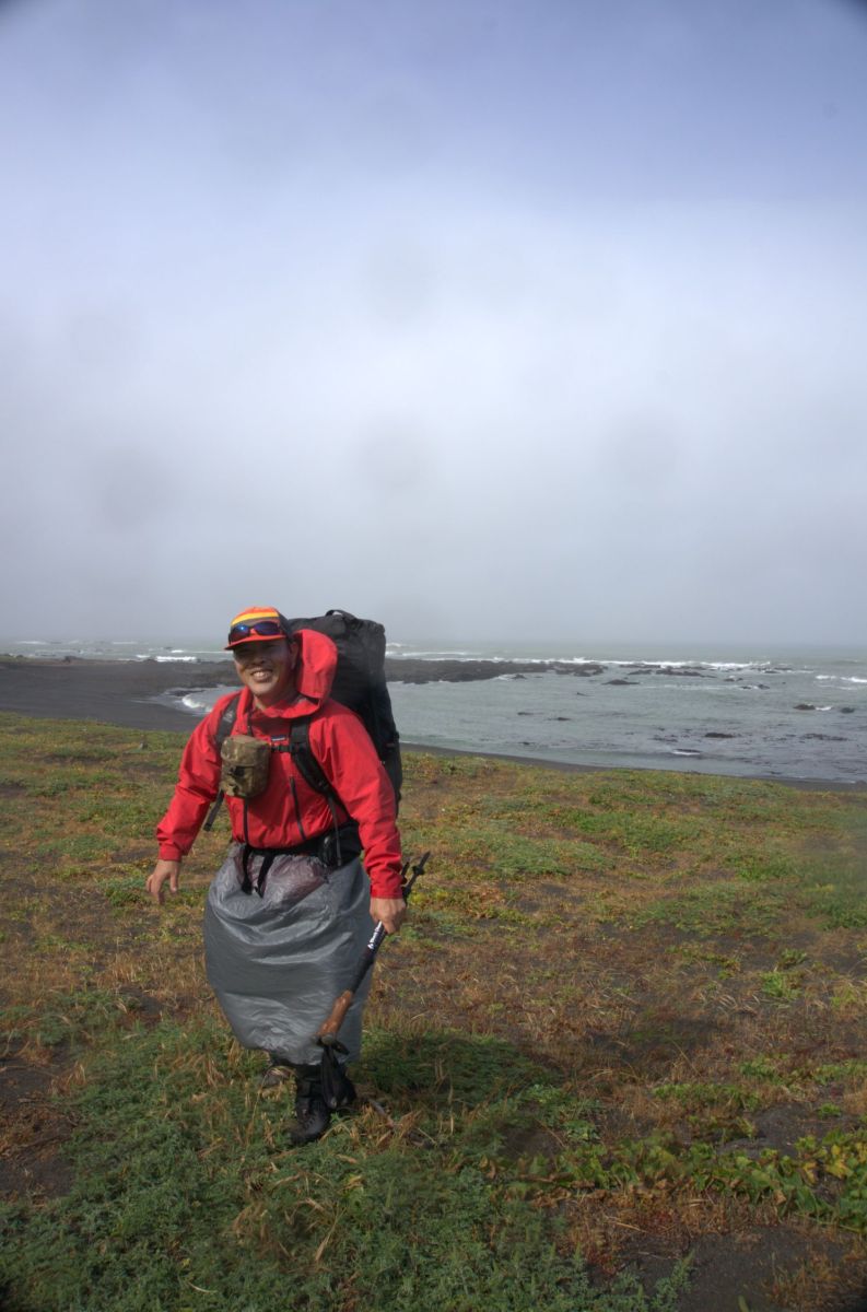
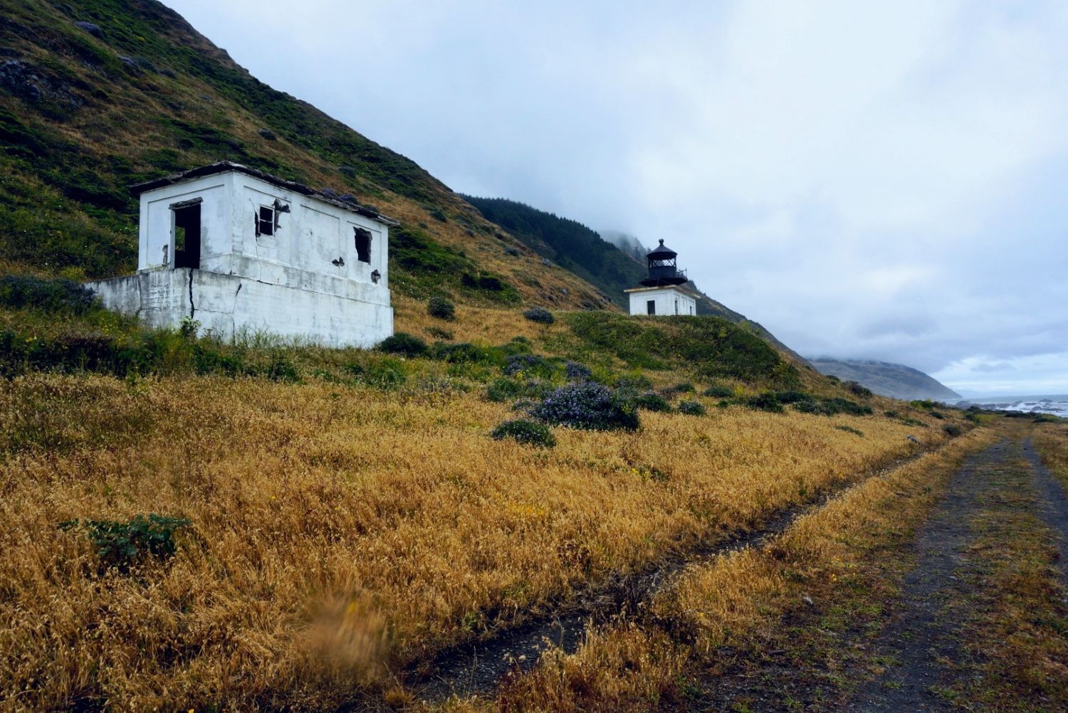
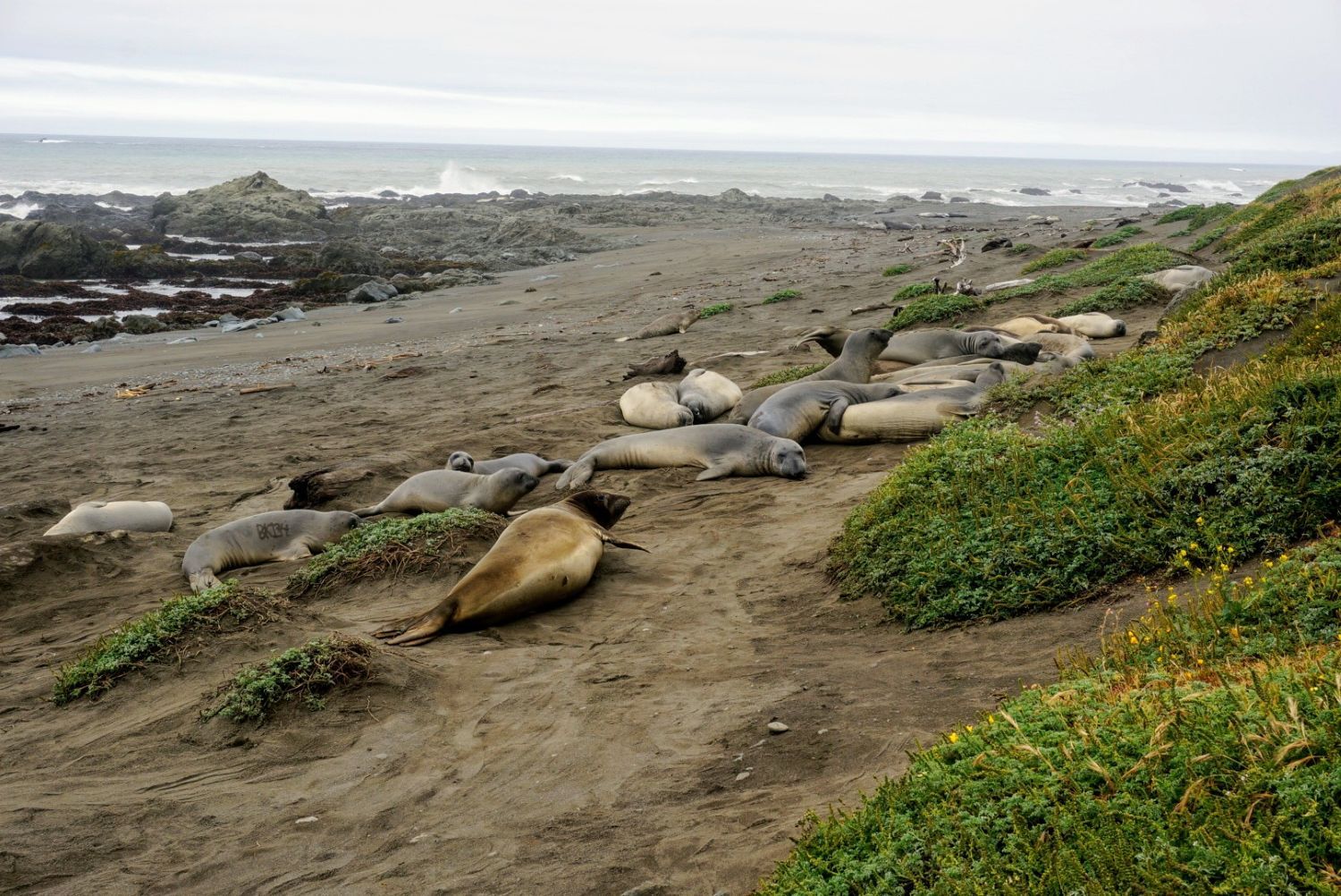
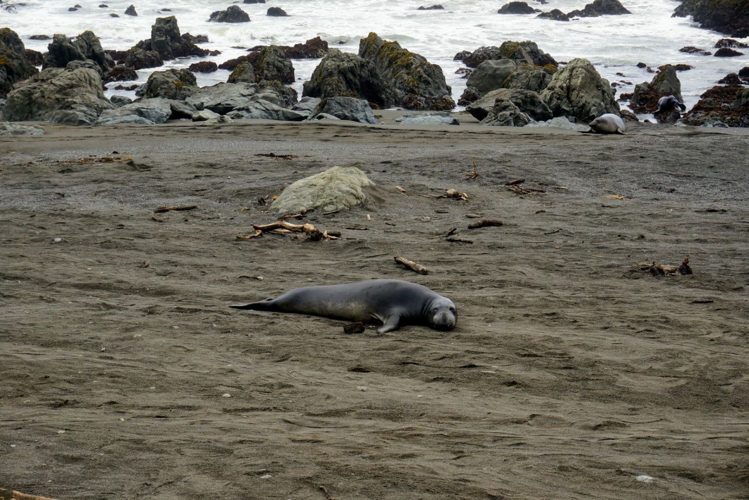
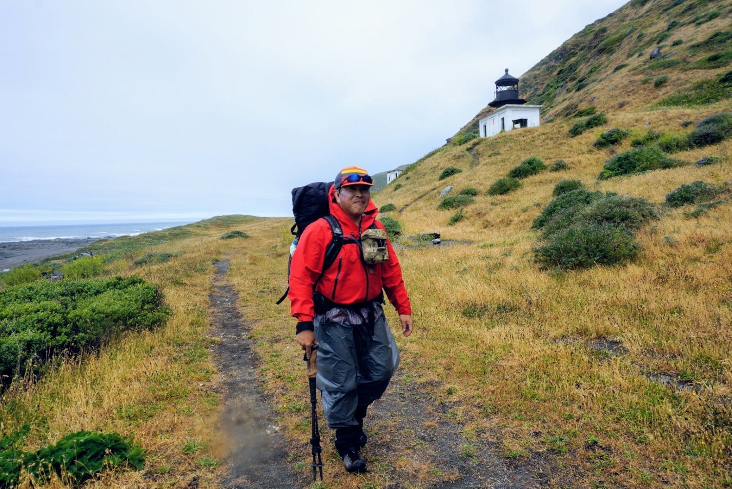
We set off from a rainy Mattole Beach. About 3 miles into the hike, we arrived at the Punta Gorda Lighthouse, standing solitary by the sea. Just past this abandoned lighthouse—where only the concrete shell remains after weathering fierce winds—a massive colony of Northern Elephant Seals lay lounging along the shoreline like giant sweet potatoes.
The absolute highlight of the first day came right before our campsite at Cooksie Creek, in Zone 2, which begins near Sea Lion Gulch. This is a section that cannot be safely crossed unless the tide is below 2.5 feet. Although we had calculated the low tide window before venturing in, the ocean was rougher than expected. While the tide had dropped enough for us to walk, there was one specific stretch of less than 10 meters where sizable waves were slamming against the cliff face behind us roughly every 10 seconds.
Because our feet kept slipping on the rocky terrain, running with large, heavy backpacks was out of the question. Ultimately, we had no choice but to force our way through, taking the relentless waves of the Pacific Ocean head-on across our entire bodies. We got absolutely soaked by the freezing waves, and it was a situation right next to danger. Looking back now, though, it was an incredibly thrilling and exciting moment. We managed to escape into the canyon of Cooksie Creek and wrapped up our first day.
Day 2: Cooksie Creek to Kinsey Creek (5.9 miles)
On the second day, we pushed through the core of Zone 2, where the rocks are the most rugged on the entire LCT. We faced a continuous stretch of wet boulders and cobbles encrusted with slick algae, causing our walking speed to plummet. Midway through, on the south side of a headland known as “Hat Rock,” a treacherous boulder field awaits. To avoid it, we took an inland detour trail that high-points around the rocks, passing through a gate by an old private cabin to get back to the beach. That night, we pitched our tents at the comfortable Kinsey Creek, which is surrounded by coastal woods that completely block the powerful winds.
Day 3: Kinsey Creek to Buck Creek (8.6 miles)
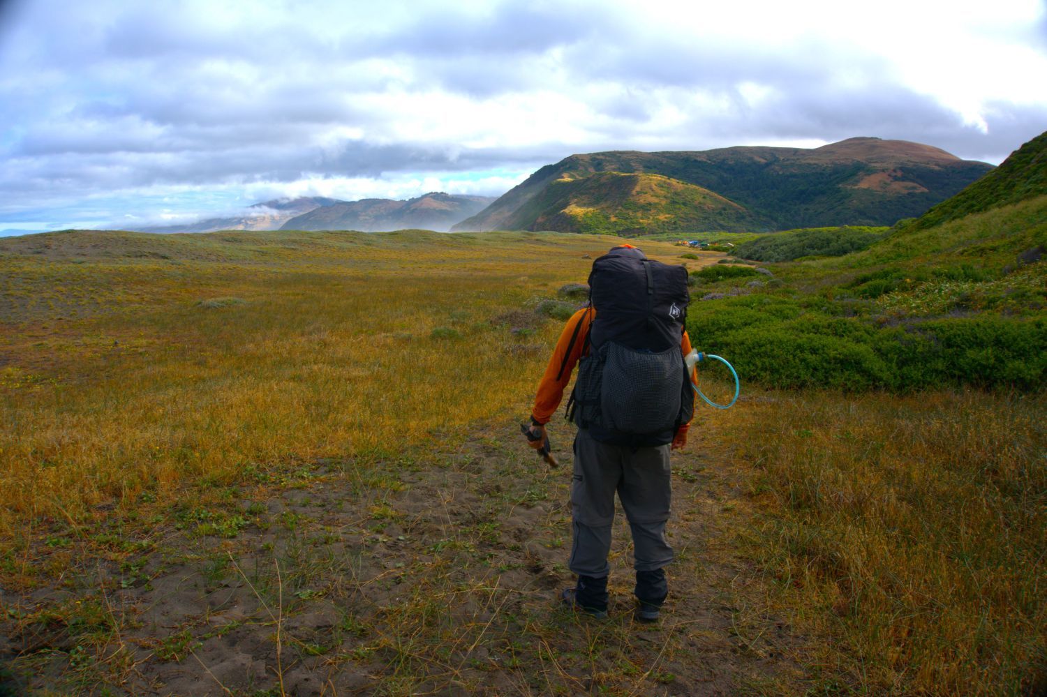
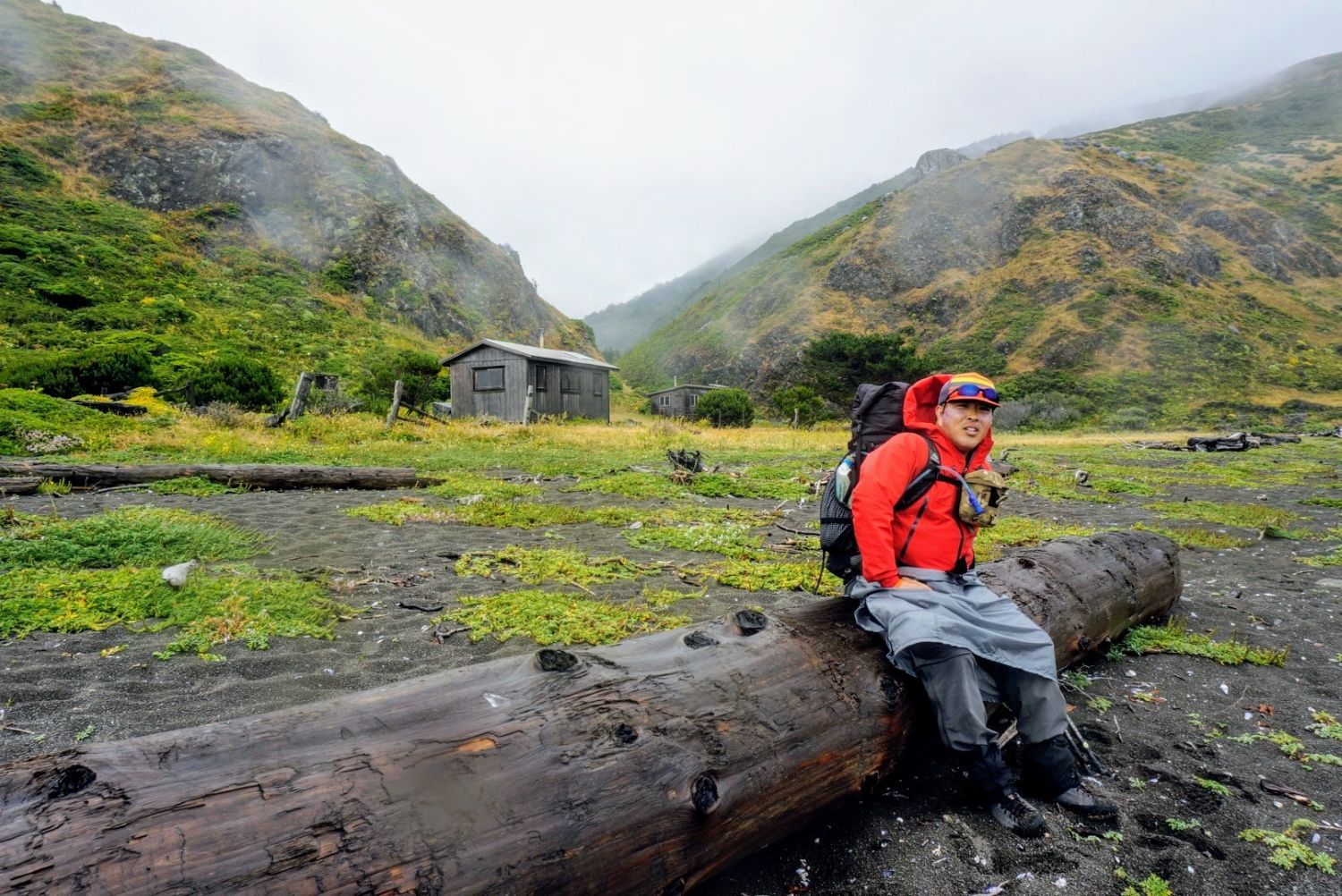
The third day was the longest distance of the trip. During the first half, we cruised through flat, grassy marine terraces like Spanish Flat and Big Flat, allowing us to cover ground relatively comfortably. In the second half, we re-entered the impassable Zone 3 starting from Miller Flat. Our campsite for the night, Buck Creek, sits inside Zone 3, meaning that at high tide, the waves creep incredibly close to the tents, carrying a constant risk of being “locked in” with no way forward or backward. Avoiding the damp sand, we set up our tents on the recessed slopes of the canyon.
Day 4: Buck Creek to Black Sands Beach (5.9 miles)
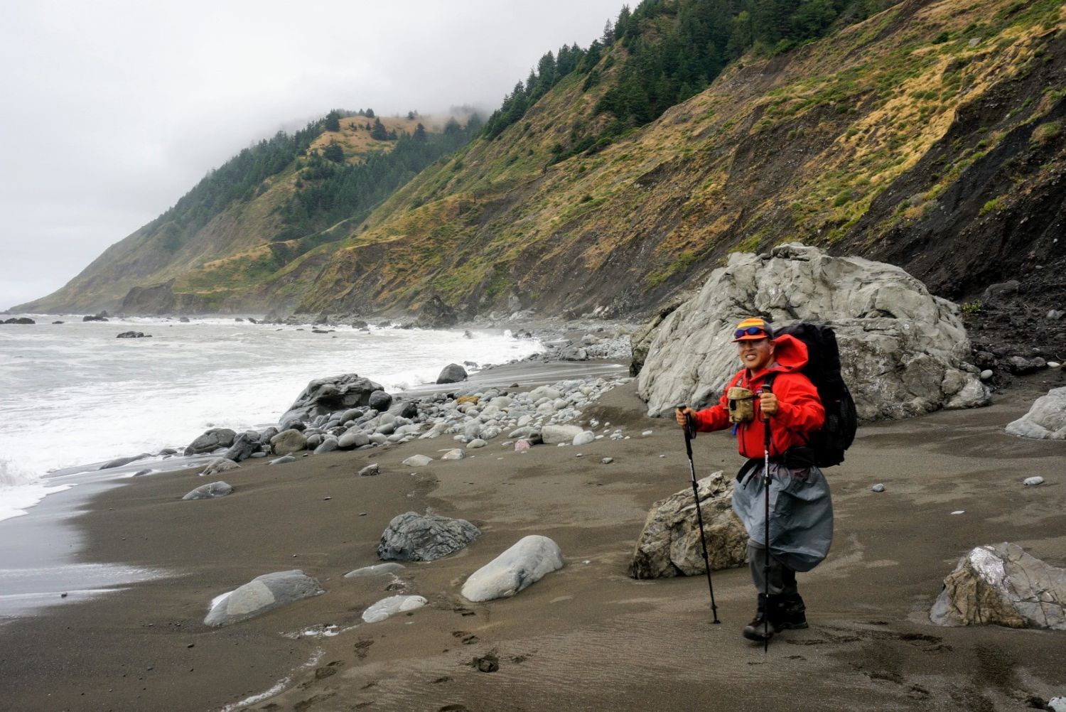
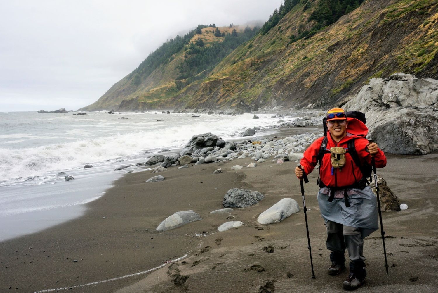
The final day. We packed up quickly to match the morning low-tide window and dashed through the remaining impassable section all at once. Although we successfully cleared the tide-restricted area, the absolute greatest obstacle was waiting for us at the very end: the coastline of “loose black sand” and pea gravel, notorious for being the most grueling terrain to walk on. Our already exhausted legs sank several centimeters with every single step. With our calves and Achilles tendons screaming in protest, we pushed forward on sheer willpower and finally crawled up to the parking lot at the Black Sands Beach finish line.
Conclusion: The Truth Behind the 27.5 Miles
The distance we researched beforehand on the map was supposed to be around 25 miles, but the total GPS distance on AllTrails came out to 27.5 miles. This discrepancy was the real-time proof of our journey—staggering around to find firmer sand, bypassing massive boulders, and hugging the inland side to dodge incoming waves.
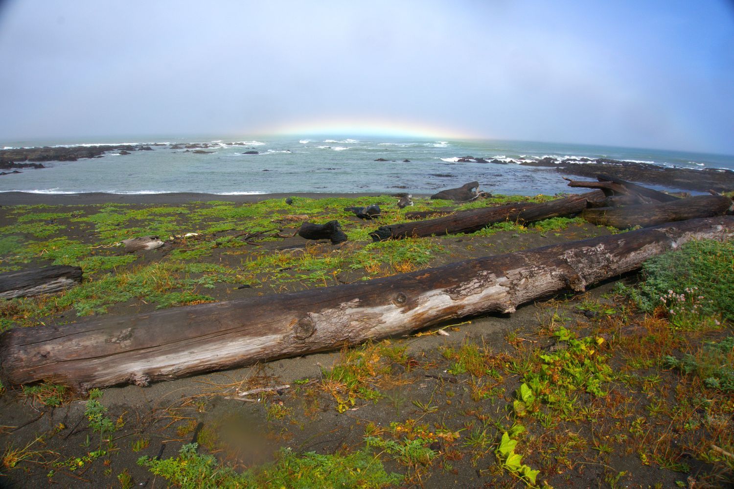
With more than half of the journey spent in the rain and endlessly trudging along beaches with a massive backpack, it was a grueling trip that could hardly be called comfortable, but it was incredibly fun. Completely severed from civilization, unifying with primitive nature while listening to the roaring boom of the Pacific Ocean, this trail possessed a raw, powerful allure that you cannot find anywhere else.
If you are thinking of taking on the LCT, I highly recommend verifying the tide tables with extreme care and building up iron-clad legs and feet before you go!


コメント